What is Development Permit Survey?
A development permit survey is a type of land survey conducted in the context of urban or rural development projects. It involves the assessment and documentation of a property’s existing conditions, boundaries, and topography to ensure compliance with local zoning regulations and development plans. This survey is often a prerequisite for obtaining a development permit from the relevant municipal or local authorities.
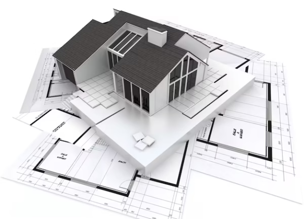
What is shown in a Development Permit Survey?
|
|
|---|---|
|
|
|
|
|
|
|
|
Why You Need a Development Permit Survey
A Development Permit (DP) Survey is a crucial step in the City of Calgary’s approval process when you plan to:
- Build a new house, garage, or secondary suite
- Add a deck, extension, or addition to your property
- Construct a fence or retaining wall in a discretionary location
- Apply for a bylaw relaxation
- Change land use or redevelopment (e.g., infill housing)
A professional DP Survey ensures your proposed development complies with municipal bylaws and helps streamline your application process.